Tesla Maps to Address 55% of Speeding Incidents
Tesla is developing proprietary mapping data to resolve recurring issues with Full Self-Driving regarding speed limits, parking, and routing.
By Eduardo Salazar ·
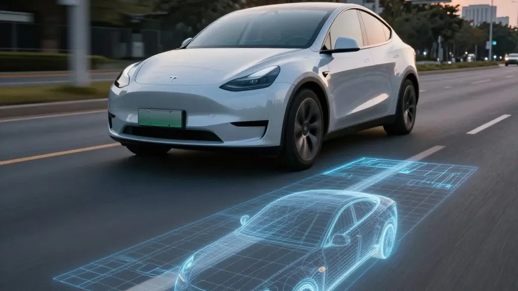
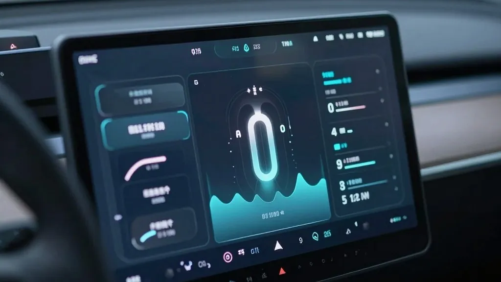
A Belgian road safety group determined that Tesla’s Full Self-Driving system exceeded speed limits in 55% of the 30 km/h zones tested in Brussels, averaging 44 km/h. This finding highlights a persistent issue regarding the system's ability to process environmental data, a challenge the company aims to address by constructing its own mapping infrastructure. During the Q3 2026 earnings call, Tesla’s head of AI confirmed the company is building proprietary maps to correct common Full Self-Driving problems, including reading speed limits, parking, and selecting routes.
The timeline of this initiative traces back to the shareholder Q&A session on October 22, 2026. An investor asked why the company relies on third-party maps when mapping continues to be a problem for Full Self-Driving. Ashok Elluswamy, Tesla’s VP of AI, acknowledged that “we shouldn’t be depending on external people’s maps.” He stated that Tesla is constructing an AI-based mapping and navigation architecture utilizing data collected collectively from its fleet to learn individual driver preferences and respond to voice commands.
This current effort marks a reversal for the company. In 2015, when Autopilot launched, Tesla told Fortune it was building high-precision maps with “100 times the level of granularity” of standard navigation using customer data. However, at Autonomy Day in 2019, Elon Musk stated that attempting high-precision lane maps was “a huge mistake” and a “really bad idea” that renders a self-driving system “extremely brittle.” Seven years later, Tesla is building a map layer from its own fleet to address failures in its vision system.
Tesla maintains that this new initiative does not contradict previous statements regarding high-definition maps. The company continues to use navigation maps, and building its own instead of licensing them is not considered a contradiction on its own. However, the specific problems the company is attempting to resolve, such as speed limits, parking, and routes, relate to understanding the environment, which Full Self-Driving frequently fails to process correctly.
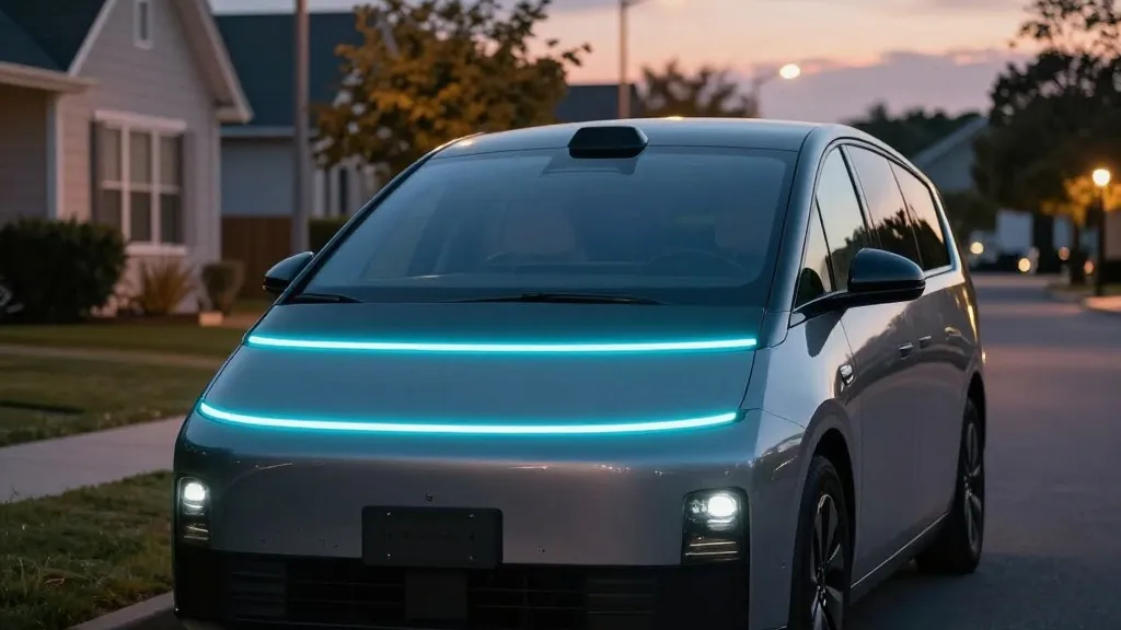
The inability to reliably read and apply speed limit signs remains a significant concern. In addition to the Brussels data, the National Highway Traffic Safety Administration is weighing an investigation into claims that Tesla Robotaxis speed through active school zones. This inquiry covers about 1,000 Model Y and Cybercab vehicles. If an end-to-end vision system cannot reliably process basic road information and the proposed fix involves a better map, it suggests that vision alone is not performing as intended.
Tesla’s approach is now aligning with methods previously criticized by its leadership. Waymo maps a city by driving sensor-equipped vehicles through it before launching service and updates those maps as its fleet drives. Tesla is describing the same concept: its cars collect environmental data to feed a Tesla-built map that assists every vehicle in driving better. The primary distinction is that Waymo’s vehicles are equipped with lidar.
This shift in strategy is also visible in Tesla’s operational model. The Robotaxi service functions city by city within small geofenced areas, with Tesla managing fleet operations. While Tesla is not currently discussing centimeter-level high-definition maps, a fleet-built map that increases in detail over time could move in that direction. Unsupervised Full Self-Driving in customer cars has been pushed to Q2 2027 and will remain limited to the Robotaxi fleet.
Source: Electrek